
We provide 2D Orthomosaic Maps, 3D Photogrammetry Models, Thermal Maps, and/or High-Resolution Aerial Photos and Video to enhance your project.
Our Fleet
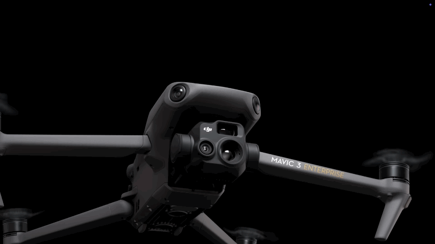
- Mavic 3T Enterprise Series & DJI Mini 3 Pro drones
- RC Pro Enterprise Controller
- DroneDeploy Drone Mapping Software
What We Can Do For You
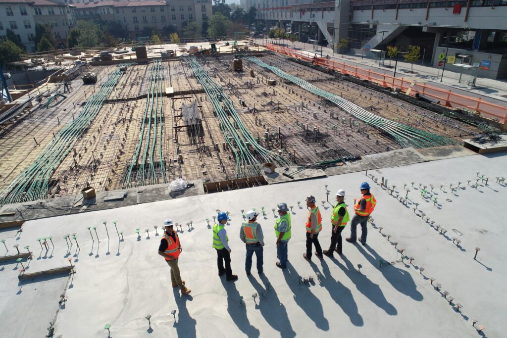
Construction Site Monitoring
We facilitate cost-effective decision making throughout the construction process, from pre-construction to closeout, including:
- 2D site surveys
- Concrete pre-pour inspection report for foundations
- 3D site modeling with accurate measurement of distance and grade
- Progress tracking in 2D or 3D Models
- Measuring onsite payloads
- Site inspections for areas of concern and/or hard-to-reach areas
- Thermal inspections for energy losses at windows and envelope facades
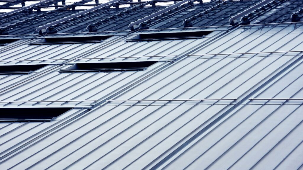
Roof Inspections
Our detailed 2D or 3D Models expedite all aspects of commercial or residential roofing processes, including:
- Evaluation of roof substrate integrity with thermal analysis for leak detection
- Roof maintenance inspection reports
- Roof damage assessment
- Visuals of roof repairs and alteration
- New roof construction inspections
- Measurement of roof and any obstructions that stick out from the roof, e.g. vents, skylights, satellites, chimneys.

Renewable Energy Evaluation
Our reports and inspections expedite both installation and maintenance of commercial and residential renewable energy systems, including:
- Roof measurement for solar cell installation
- Solar cell installation progress reports
- Solar cell inspections with and without thermal imaging to spot defective cells
- Solar field thermal inspections to identify poor performing cells as well as structural problems
- Wind turbine inspection
Commercial and Residential Visuals
High resolution aerial images and/or videos provide an overhead perspective of your project, including:
- Cell tower inspections
- HOA common area inspections
- Real Estate promotion or private monitoring of homes, building, and/or land